In spring, especially, the boundary between Prospect Park and the gloomy, earth-colored blocks of Park Slope is fluid. It is one of the most perfect intersections of 19th-century Romantic landscape architecture and late Victorian common-law urbanism. Viewed on a map, a monotony of gridded blocks makes the boundary between urbs and gardens look like a hard line, defined by the long razor of Prospect Park West. But a few images from a recent visit prove that it is, in fact, a more subtle transition.
Situated within the park, near Prospect Park West, the Litchfield Mansion (1855) predates both the park and the subdivision of urban building lots for Park Slope. A placard teaches that it was once the private home of a Brooklyn industrial magnate. Today it serves as administrative offices for the Parks Department.

The trees of Prospect Park were in full bloom when I visited. The Long Meadow, beyond the mansion, was busy with people, some playing games, others having picnics, a few reading beneath trees.

At the edge of the park, one can see that its influence does not merely end at its surveyed boundary. Instead, the density of trees and plant life, and the colors of nature, extend across Prospect Park West and echo through the cool, shady blocks of the old Victorian neighborhood.
Here is the park block of First Street, afternoon light filtering through the leaves:

And some wavering cornices on the same block:

In early spring, the old trees had already formed canopies more reminiscent of Oglethorpe’s Savannah or of New Orleans’ Garden District than of New York City:

Here are some facades on Third Street, between Eighth and Seventh Avenues:

Massive, hundred-year-old sycamores make parts of the Central Slope feel like a quiet, settled place in the woods — rather than a major city. The cool, enchanting gloom is hard to capture inside the four corners of a picture.

In some blocks, these ancient trees not only line the curbstones — but a second row also occupies a position closer to the building line:

Park Slope is a richly tactile place, with block curbstones, wrought iron gates, gnarly tree trunks, and (in some places) traditional slate sidewalks.

The topography — including the namesake slope — can be seen in the terraced rooflines of the area’s east-west blocks.

In parts of the Central Slope, the street trees are truly massive:

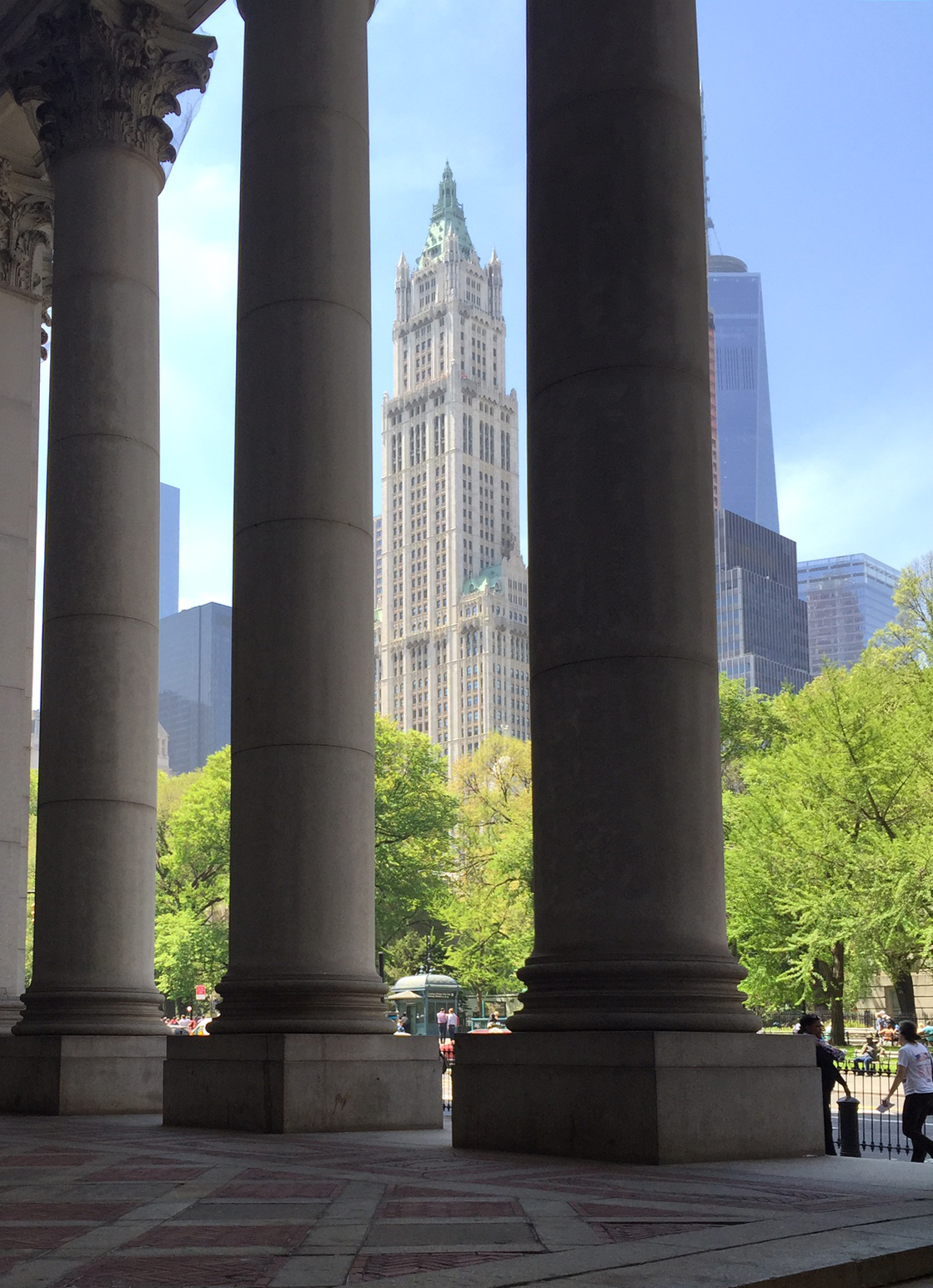
Back in the park at twilight, the buildings of Prospect Park West form a street wall that helps to define the green space.

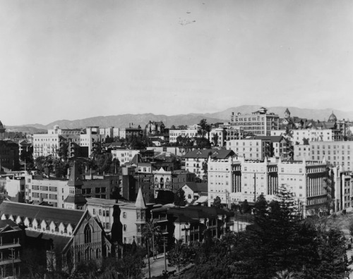
Unfortunately (or fortunately, depending on one’s perspective), zoning and historic preservation have, at the southern end of the park, frozen a relatively low density of development in place.
The continuous street walls that were built early, further north, become shorter as one approaches Bartel Pritchard Square, and as one moves southward along Prospect Park Southwest they begin to show gaps. The lower-rise buildings in these blocks may have merit, but they are not the unbroken cascades of perfect brownstones that served as the basis for the historic district, nor are they the highest and best use of prime park-front building lots. The persistence of gaps in the street wall here, and the sense it projects of incomplete urbanization, illustrates how a traditional urban process was interrupted by 20th-century regulation.

Be that as it may, the transition between the western edge of Prospect Park and the Victorian urban fabric of Park Slope — especially in the North and Central Slope — is one of New York’s treasures of the built environment. It bears noting that this gem of urbanism is an artifact of the mix of private, common-law urban growth processes and municipal planning initiatives that drove the growth of American cities in the 19th century — a development context that has now, mostly, regrettably, been forgotten.

LegalTowns is a reader-supported publication. To receive new posts and support my work, consider becoming a free or paid subscriber via Substack.


 In my free time, I’ve been reading